Narva Bridge: When the River Was Not a Border
Reveal the barges, the old bridge and the castle above the river — and discover a time when both banks were one town.
The story
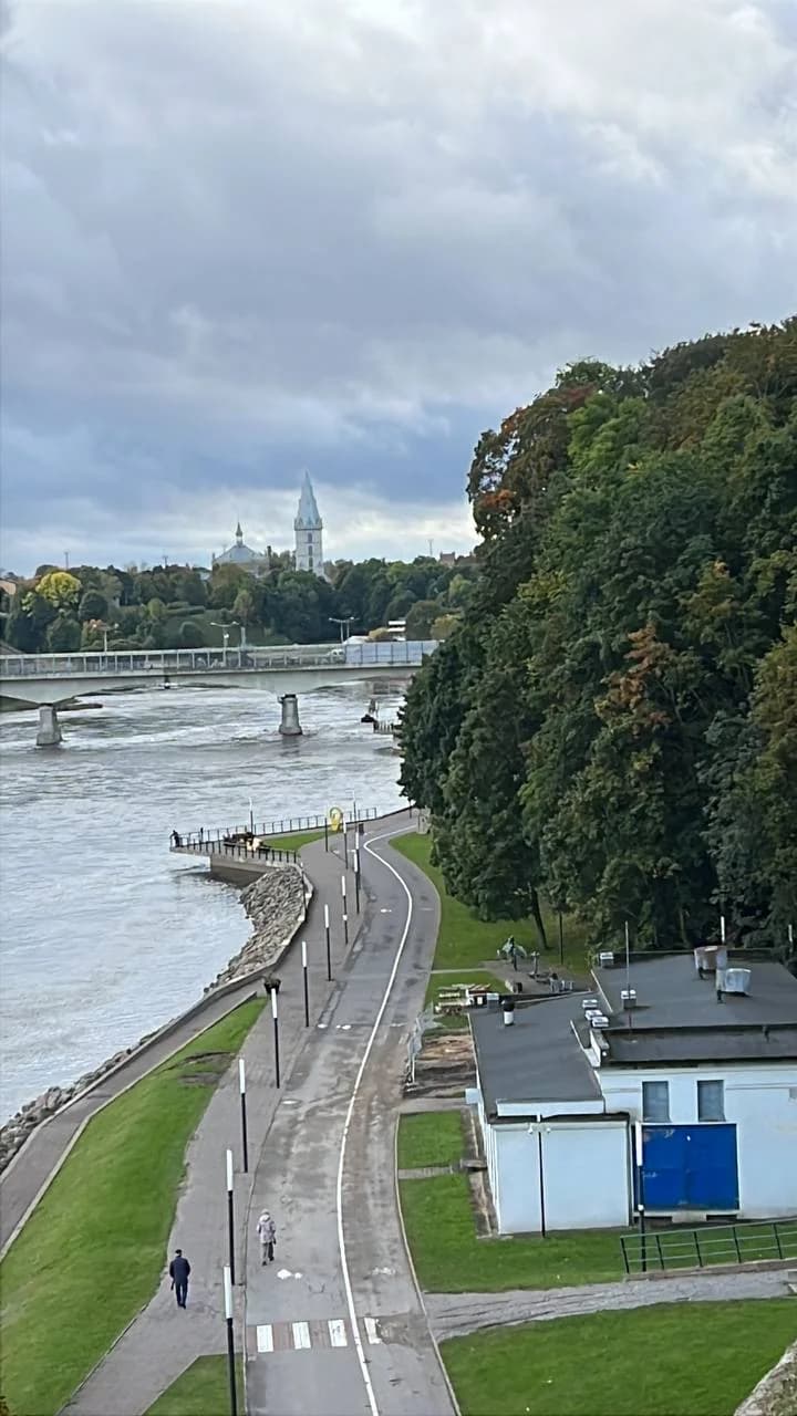
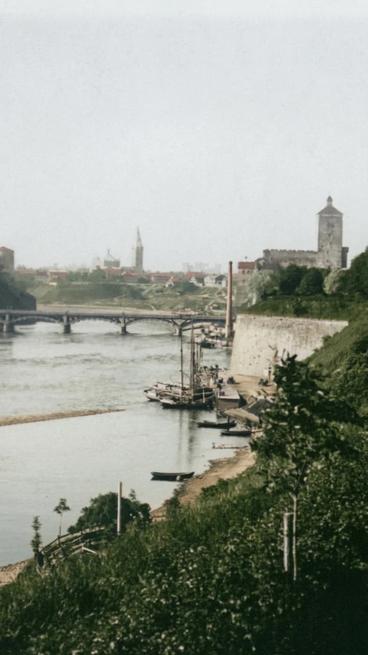
Look down at the river: wooden barges with bare masts lie at a landing place, rowing boats rest on the shore, and a tall chimney stands where the bridge meets the bank. Above them a pale fortress wall climbs to Hermann Castle and its tower. The photograph was taken by Jaan Kristin between 1899 and 1912, from the high bank above the water.
The bridge in the picture is not the one you see today. It was built between 1822 and 1829, and the Narva Museum calls it the first concrete structure in Estonia. When Kristin stood here, it joined two halves of a single town: Ivangorod, on the far bank, had been part of Narva since the seventeenth century, and both banks lay in the Saint Petersburg province of the Russian Empire.
Open Narva Bridge in WanderTrails
Walk to the real viewpoint, raise your camera, align the guide with today's view — and watch the past appear over the present, with the full audio story in English, Estonian, or Russian.