Tartu Through the Ages: From Hillfort to Scholar’s City
What you'll walk through
- 1
Chapter 1: The First Ridge
Where Tartu Began
↓ Preview below - 2In the app
Chapter 2: Halfway up Toome
Tarbatu: Fort on the Frontier
- 3In the app
Chapter 3: Approaching the Cathedral
Stone, Cross and Command
- 4In the app
Chapter 4: Tartu Cathedral
From Ruin to Library to Museum
Chapter 1 · Free preview
Where Tartu Began
A Ridge Above the Waters
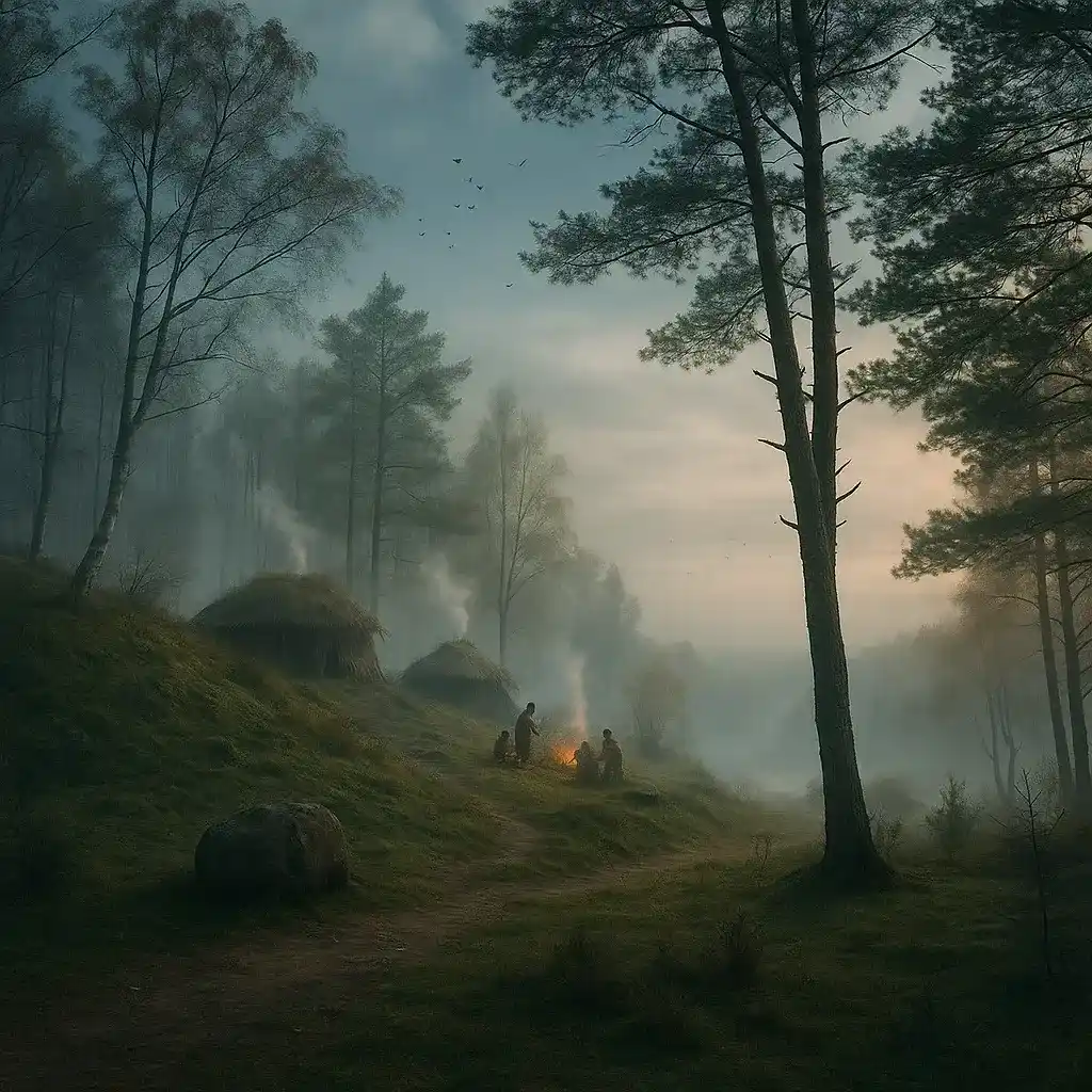
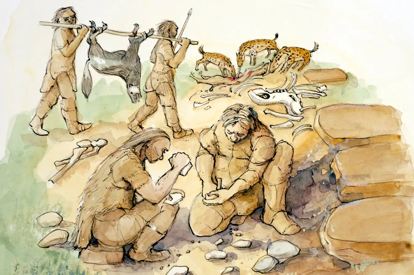
You’re standing on the southern crest of Toome Hill, close to the spot where the oldest core of Tartu developed. Archaeological excavations on Toome and its slopes have shown that people were present here already in the early medieval period (about the 5th–7th centuries AD), long before Tartu appears in written sources in 1030. At that time the Emajõgi River was much more marshy and wider than today: its floodplain spread below the hill, and higher ground was rare. A dry ridge that rose above seasonal floods was therefore not just convenient — it was strategic.
From such elevated sites communities could control movement along the river, watch the crossing place below, and create a stable settlement area where houses, storage pits and workshops would not be washed away. Finds of ceramics, tools and burnt building remains from this area confirm that this was not a random campsite but a place people kept returning to and rebuilding. In other words: in southern Estonia, this hill was one of the earliest fixed points of organised life.
Formed by Ice, Chosen by People
Toome Hill itself is older than any settlement here. It is a glacial moraine, left behind at the end of the last Ice Age around 10–12 thousand years ago. When the glacier retreated, it pushed up ridges and left a raised, elongated hill exactly where you’re standing. Later generations did not know the geology, but they sensed the advantages: the hill gave a view over the Emajõgi valley, it had relatively firm soil compared with the wetlands below, and it lay right next to a water route that connected Lake Võrtsjärv to Lake Peipus and further to the territories of Novgorod and the eastern Baltic.
Because of this, Toome was a natural place to control traffic and collect dues. Even in the centuries before written chronicles, people here could have exchanged fish, furs, wax, and later iron items coming from inland for salt or imported goods moving along the river. So the formula was simple: Ice Age geography created the hill; human geography — trade routes, river traffic, safe crossings — made people choose it.
The story keeps going — 18 more stops on the street
This was the beginning of chapter 1 of 4. The full route walks you stop by stop through Tartu with audio narration in English, Estonian, and Russian, historical photos at every point, and XP for your Explorer Passport. Free, self-guided, no booking.